
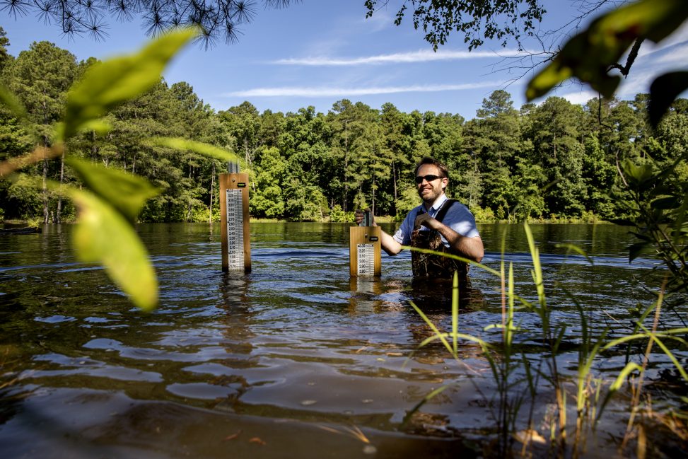
Tamlin Pavelsky, associate professor of geological sciences, measures water levels at Botany Pond in Chapel Hill as part of an ongoing water-storage project. (photo by Johnny Andrews)
An early appreciation of rivers and lakes in his childhood home in Alaska fuels geologist Tamlin Pavelsky’s passion to understand water storage in lakes around the globe.
How much water is stored on Earth’s surface?
Tamlin Pavelsky, who is trying to answer that question, traces his love of looking at the Earth from above to his childhood in Alaska, where he spent his days hiking and boating remote rivers and lakes with his family.
“I still remember when I was 6, as a Valentine’s Day present my mom got me a world atlas,” he recalled.
Pavelsky, now an associate professor of geological sciences, spent hours studying the atlas and developed a passion for understanding the patterns of the physical and human landscape of Earth’s surface.
Today, he uses satellites to map and measure the world’s bodies of water to understand how water moves through Earth’s systems with much more precision. With a new $1.5 million grant from NASA’s Earth Science Division, Pavelsky is combining satellite data with height measurements collected by citizen scientists to gain a more accurate picture of water storage in lakes in North Carolina and around the world.
“There are millions of lakes in the world that are important for water resources, for ecosystems and for our climate, but we only monitor a few thousand of them right now,” Pavelsky said. “We’re hoping to combine cutting-edge satellite data with measurements from citizens to learn more about how lakes work and to test that against a new NASA satellite mission that is specifically designed to measure lakes.”
Pavelsky partnered with the UNC Institute for the Environment to develop and implement an education and training program for citizen scientists to help collect data. The team also enlisted the help of Tennessee Tech University to build a web-based platform to collect data from citizen scientists via text message and share information on individual lakes, browse past data and interact with the project team. Scientists and volunteers can follow along on a new website where they can find news and updates on the progress of the project, which will soon have an accompanying mobile app.
During the three-year implementation phase, the team will focus on several regions per year including New England, Wisconsin, Washington, Minnesota, India, Pakistan, Bangladesh and the Pyrenees in southwest Europe. The sites in south Asia will be led by a partner at the University of Washington. The information collected by local collaborators and citizen scientists will be shared with scientists around the world as free, open data.
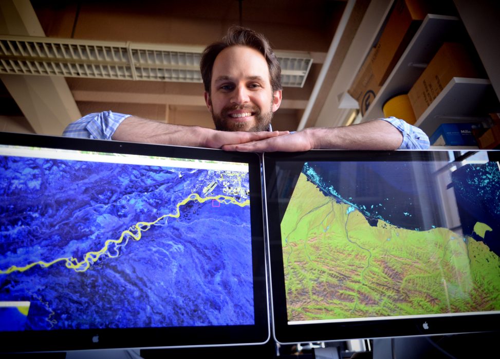
Pavelsky is also the lead hydrologist on a NASA mission called SWOT, which stands for Surface Water and Ocean Topography. SWOT will use satellite radar signals to give scientists the first-ever comprehensive view of Earth’s surface water. The satellite will launch in 2021 from Vandenberg Air Force Base in California.
Pavelsky’s research will not only help scientists understand how water moves throughout the globe, it will also give clues about the movement of greenhouse gasses that are released into the atmosphere via these bodies of water.
A recent study by Pavelsky and George Allen, Pavelsky’s former graduate student who is now an assistant professor at Texas A&M University, was featured on the June cover of Science. They estimated the total global surface area of rivers and streams and found that these waters cover a larger portion of Earth’s surface than previously thought — as much as 45 percent higher than previously projected.
Pavelsky has managed to advance research in his field by bringing his passion for studying patterns on Earth’s surface to life. And it all started with a simple gift.
“I still have that atlas with a little inscription from my mom,” he said.
To learn more about the Lake Level Monitoring Project, visit http://lakelevel.org. For more on NASA earth science activities, visit www.nasa.gov/earth.
By Emily Williams, director of community and university relations for the UNC Institute for the Environment.
Published in the Fall 2018 issue | Tar Heels Up Close
Read More

Scottish Gaelic studies will highlight N.C. ties
Visiting lecturer Tiber Falzett will share his love of an…
A convergence of synergies
This fall, Carolina celebrates its 225th birthday. Milestone anniversaries are…